Coastal Erosion opposite on the high cliff edges of Lake or Shanklin.
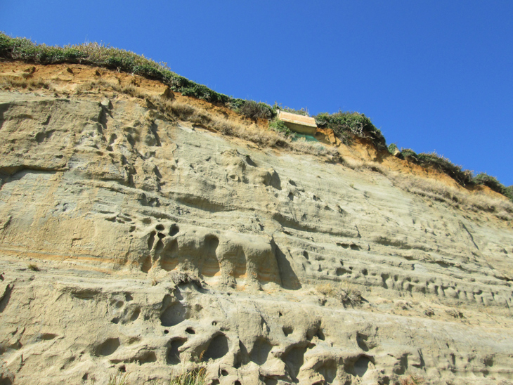
The Isle of Wight has had a battle with losing land every year as far back as Victorian times and possibly before. The amount of land the Island loses varies between 1 - 3m a year in some places, thankfully not all areas of the Islands coast is affected by this problem. Erosion is a gradual problem and is quite easily slowed down or stopped at lower levels to the sea, at higher levels it becomes more difficult - unlike Landslips which are more responsible for land lost and in one or two sudden and sometimes dramatic slips of land.
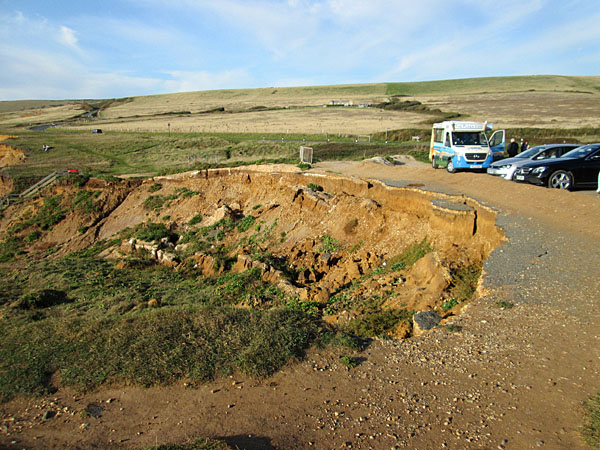
Landslips although on a smaller scale have been occurring here for many years, the foreground used to be another row for cars to park. This is a combination of erosion and landslip.
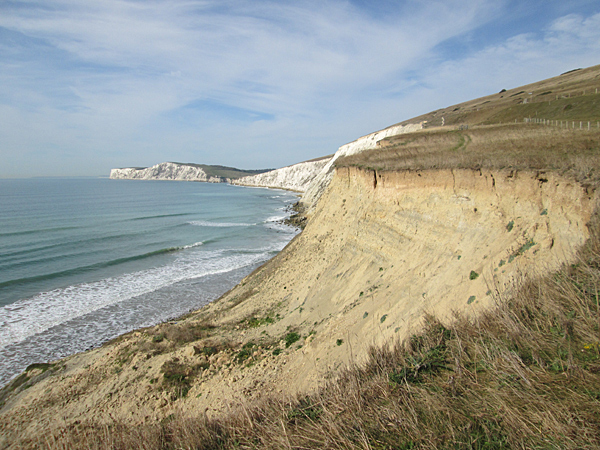
Coastal erosion between Compton Bay and the cliffs preceeding Freshwater, this is also on the Coastal Path.
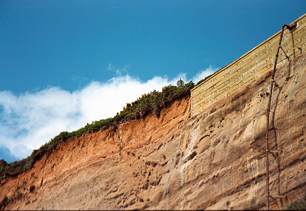
An old picture of thick wood boards secured with very long bolts into secure ground. Note the top old path sign which is buried amongst shrubs, after the path was re-directed.
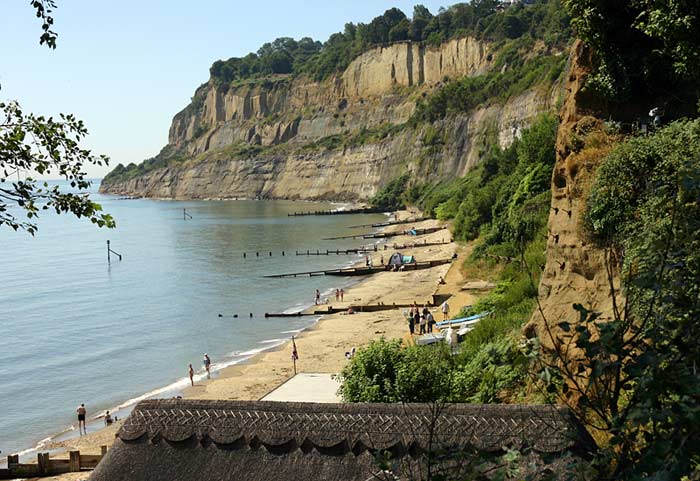
High above the popular beach pub on Shanklin beach long bolts were drilled into this exposed soft rock face, at one time steel netting was on here, some can be seen just out of view. The Chine viewing platform is on the top right. Thankfully erosion is at a v. slow rate here.
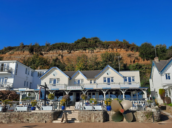
Erosion high above The Steamer Inn, thankfully erosion is very slow in this area the trees and vegetation possibly slowing the rate down.
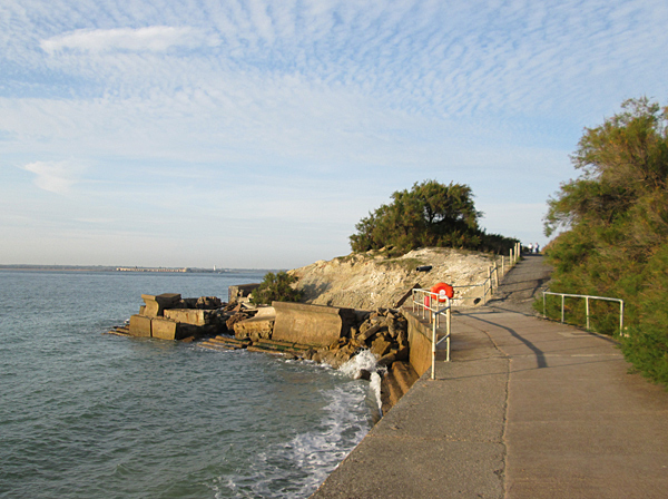
On the edge of Totland the Coastal Path has had to be permanantly diverted because of sea erosion and destruction of the concrete sea defences, quite substancial they were.